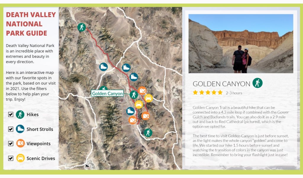
Description: An interactive map featuring my favorite spots at Death Valley National Park, including hikes, short strolls, view points, and scenic drives.
Background: When I was researching and planning my visit, I was frustrated at the lack of resources out there that showed the spatial relationship between different points of interest.
Hence, when creating my “guide” after our visit I made it a point to present the content as an interactive map. This gives people another layer of information – not just about the points of interest, but where they are located and what other spots are nearby. This way, it is much easier to string this information together and build a functional itinerary.
For a deep dive into my thought process behind this, read my blog post.
Software Used: Articulate Storyline 360
Click on the photo below to launch the course!

